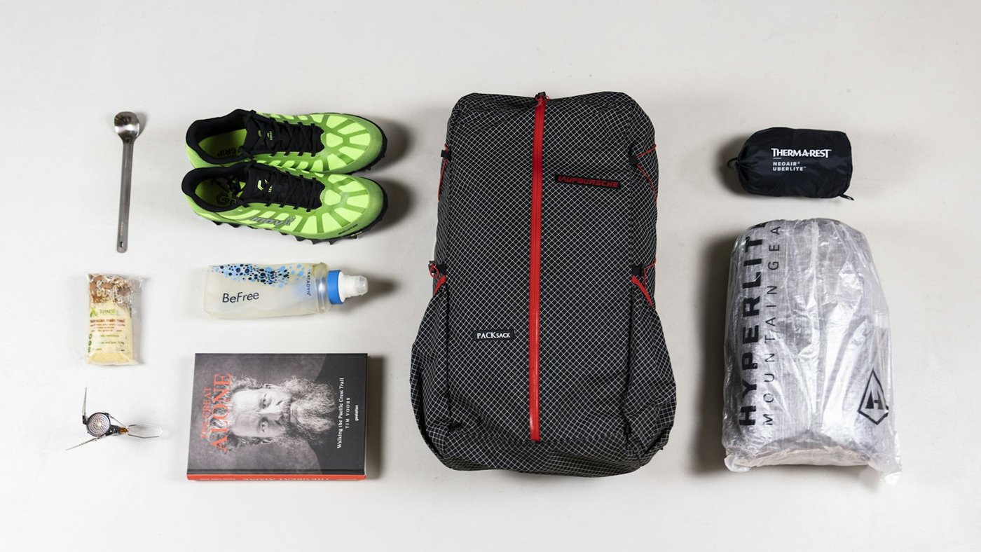
GPS apps have made route following easier, but they have not removed the need to understand the ground around you. A blue dot can be reassuring until the phone battery drops, the screen gets wet or the route line tempts you onto terrain you did not properly assess.
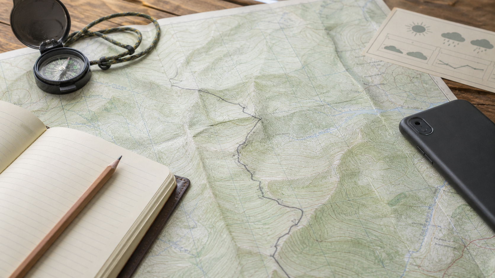
Paper maps are not a nostalgic accessory. They show context. GPS apps are not lazy. They are excellent tools when used with judgement. The strongest navigation setup uses both.
Where GPS apps help
GPS apps are useful for confirming position, following a saved route and recording distance. Offline maps are particularly helpful in areas with poor signal. They also make it easier to share a plan with someone at home.
What paper maps do better
A paper map gives a wider view of ridges, valleys, escape routes and nearby alternatives. It is easier to understand the shape of the landscape and make a fresh plan when the original route stops making sense.
A simple combined system
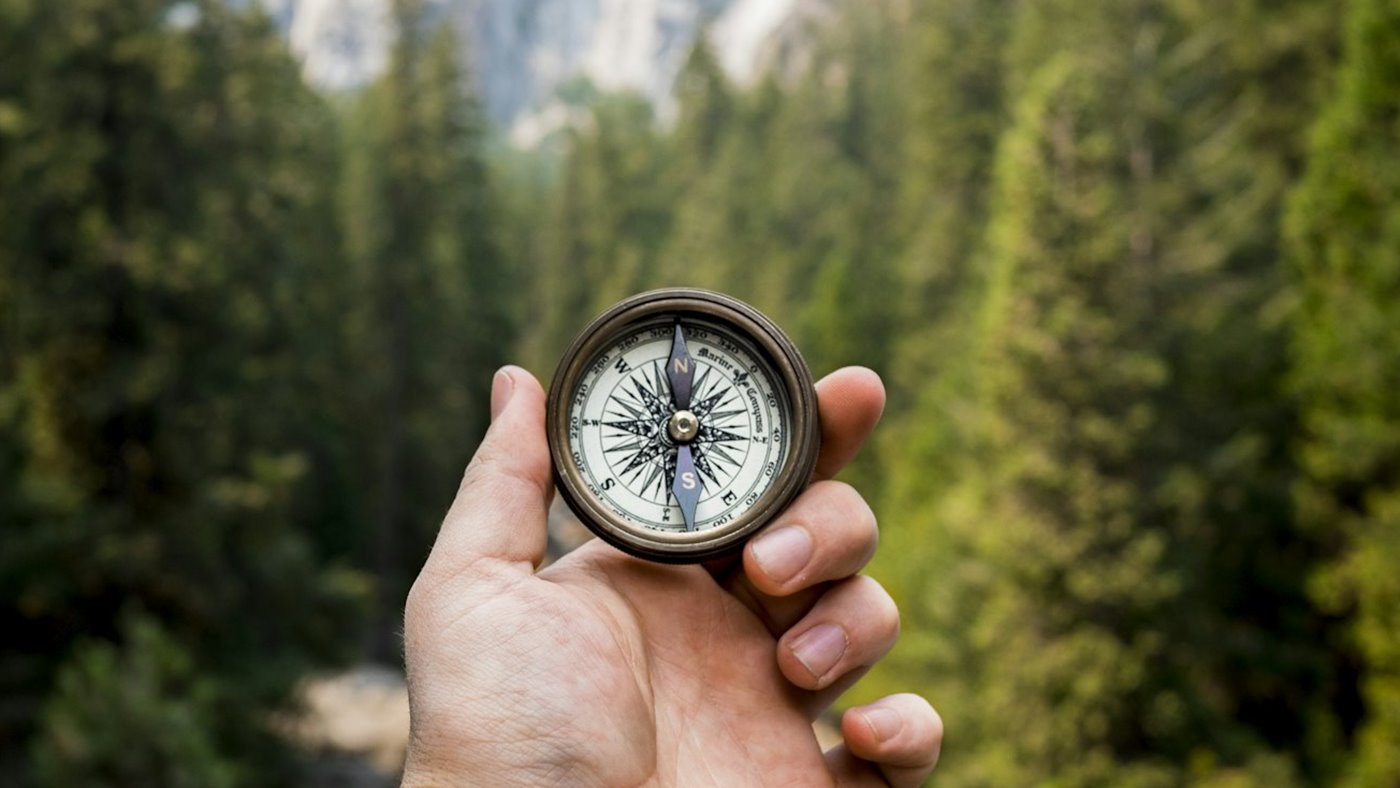
Plan on a full map first. Transfer the route to your phone second. Carry a compass and know the broad direction of travel before you need it. At junctions or in poor visibility, compare the app with visible features rather than following the line without question.
| Tool | Use it for | Do not use it for |
|---|---|---|
| GPS app | Position checks and route recording. | Replacing terrain judgement. |
| Paper map | Context, alternatives and escape routes. | Exact live location without skill. |
| Compass | Direction checks and poor visibility. | Solving every route problem alone. |
Failure checks
Before leaving, download offline maps, charge the phone, carry a power bank and keep the paper map dry. If one navigation layer fails, the walk should still be manageable.
Use GPS for position, not permission
A phone app is excellent for confirming where you are, but it should not make every decision for you. If the line on the screen crosses private land, dangerous ground or a path that has changed, the app is not the authority. Learn to compare the digital route with what you can see: slope direction, streams, walls, junctions and the shape of the ground.
Have a battery and weather plan
Cold, rain and constant screen use drain phones quickly. Download offline maps, keep the phone dry and carry a small power bank on longer walks. A paper map does not replace judgement either, but it gives the group a shared reference if the phone fails or one person is separated from the route information.
Share the navigation load
One person staring at a phone can make the rest of the group passive. Let others see the next junction, expected climb or escape option so the route is understood by more than one walker. If the main navigator is tired or injured, someone else should still know how to continue or return safely.
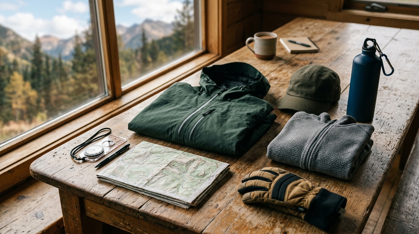
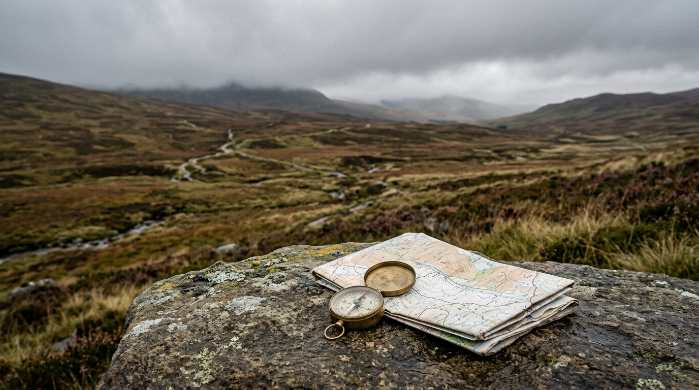
Use terrain, weather and timing before the kit decision.