Walking off the beaten track brings a quiet satisfaction that busy, signposted paths rarely match. However, stepping onto routes that lack clear markers, cairns, or trodden earth requires a shift in how you think and navigate. Relying on guesswork is a quick way to find yourself disoriented, particularly when the weather closes in or daylight fades.
Prioritising unmarked trail safety is not about avoiding these wilder routes altogether. Instead, it is about developing the practical skills, observation habits, and decision-making frameworks needed to navigate them with confidence. By preparing thoroughly and knowing when to turn back, you can explore remote areas without relying on luck.
Key takeaways
- Never rely on one tool: Always carry a physical map and compass alongside digital backups.
- Identify features early: Map out “handrails” (like ridges) and “catching features” (like rivers) before you set off.
- Set hard limits: Establish a firm turnaround time based on daylight and weather, and stick to it.
- Look behind you: Regularly check the view behind you to familiarise yourself with the return route.
Active navigation instead of passive following
On a well-marked path, navigation is passive. You follow the signs or the obvious dirt track underfoot. On an unmarked route, navigation must become active. This means you are constantly matching the terrain around you to your map, rather than walking blindly and checking your position only when you feel lost.
A common trap is confirmation bias – making the landscape fit what you want to see on the map, rather than what is actually there. If you expect to see a stream crossing, you might convince yourself that a dry ditch is that stream. Active navigation requires objective observation. If the details do not match up, you must pause, check your bearings, and re-evaluate your position rather than pushing forward hoping things will sort themselves out.
Pre-trip planning and map habits
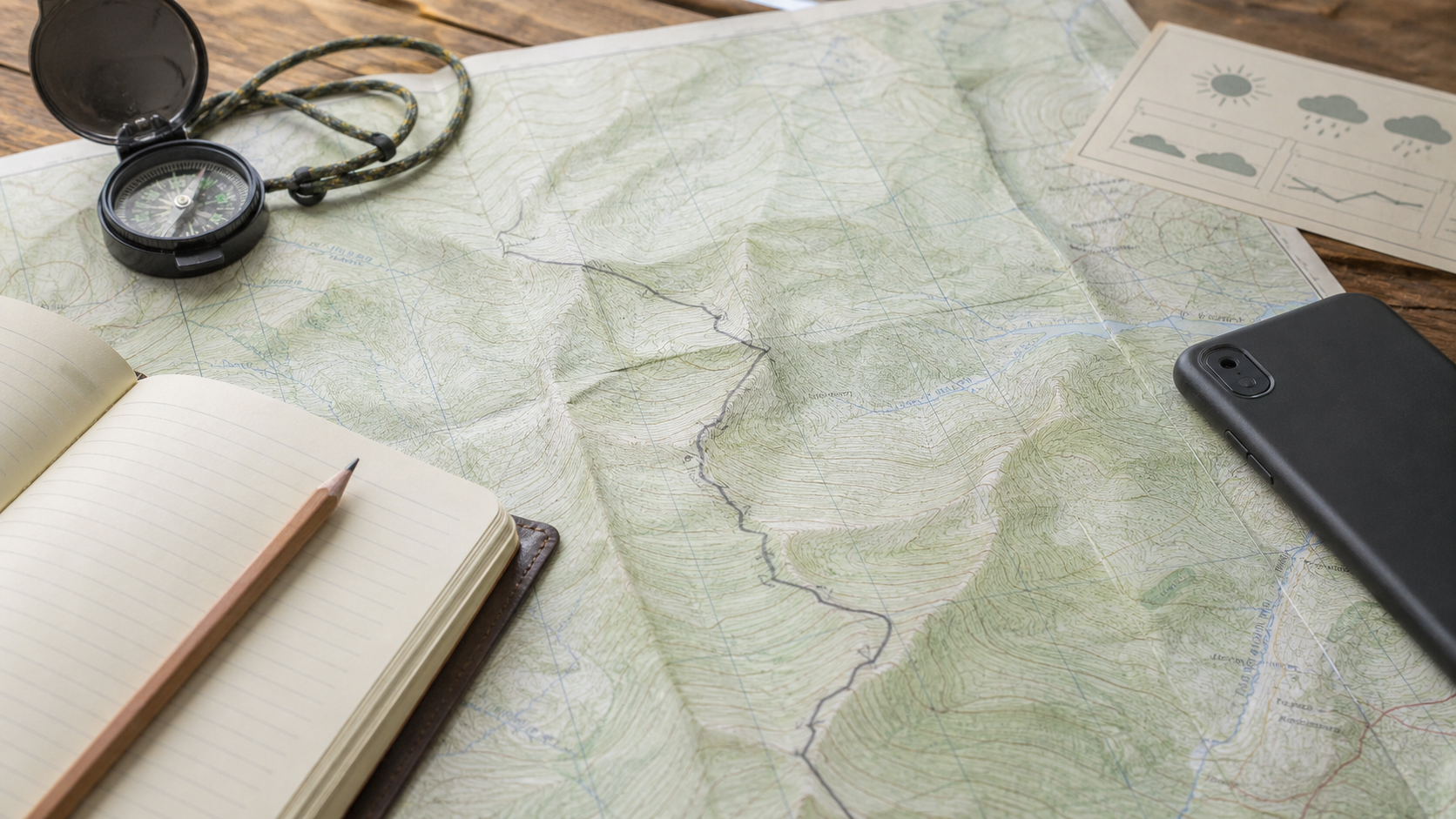
Confidence on the hill starts at home. Before setting off, you need to study the terrain features of your chosen route. This is where good route planning map habits become invaluable. Look at the contour lines to understand the shape of the land. Are there steep drops, ridges, or flat plateaus? Knowing the shape of the land helps you visualise the route before you even step foot on it.
When assessing the difficulty of a route, remember that an unmarked path automatically increases the physical and mental challenge. A route that seems straightforward on paper can become highly demanding when you have to find your own way through heather, scree, or bog. If you are relatively new to navigation, it is wise to gain experience on routes with a beginner-friendly trail difficulty rating before tackling completely unmarked terrain.
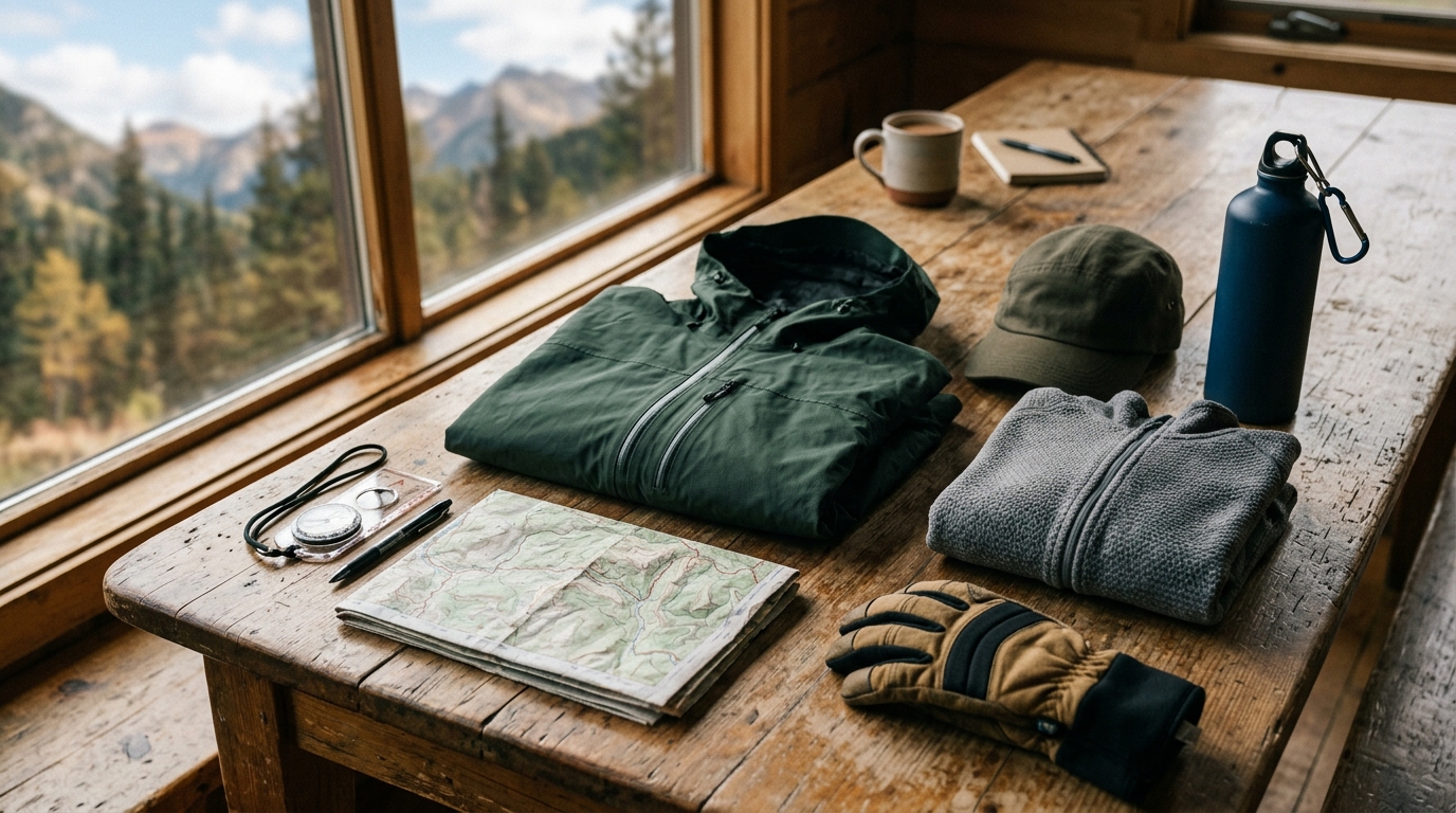
Always pack your rucksack with the necessary day hike essentials, ensuring you have a high-quality compass, printed topographic maps of the area, and a headtorch with spare batteries.
Reading the landscape on the move
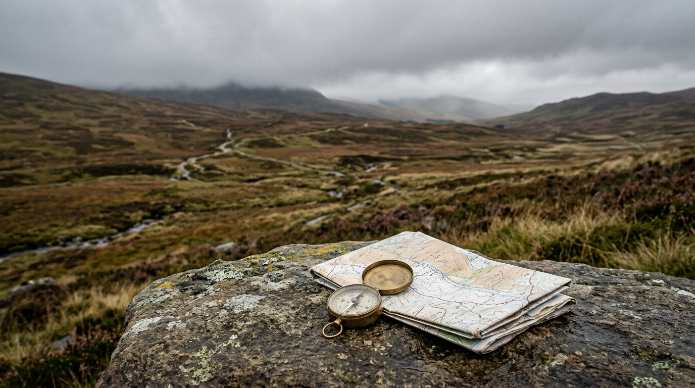
When the path disappears, the wider landscape becomes your guide. You need to look for natural features that can keep you on course without constantly staring at a screen or map.
Knowing when to turn back
The most critical decision you will make on an unmarked trail is when to stop pushing forward. It is easy to fall victim to the desire to complete the loop, but stubbornness in the hills is dangerous. You must establish clear thresholds for when to turn around.
Always check the local weather window for hikers before you leave. If the forecast suggests deteriorating conditions, rain, or low cloud, adjust your plans early. Turning back is not a failure; it is a sensible decision that ensures you can return to walk another day.
Build a margin before the route becomes uncertain
Unmarked trails reward patience. Move a little slower than you would on a signed path, stop before confusing ground and confirm your position while you still have obvious features around you. If you wait until you are unsure, every choice becomes harder.
Keep a simple rule for uncertain sections: if the terrain, bearing and expected feature do not agree within a few minutes, stop and reassess. Check the map, look behind you, identify a safe return line and avoid pushing forward just because the path might improve.
| Warning sign | Sensible response |
|---|---|
| The path fades into several sheep tracks. | Stop, take a bearing and choose the line that matches the map features. |
| Cloud lowers and visibility shrinks. | Move to simpler terrain or turn back before navigation becomes guesswork. |
| The group pace drops sharply. | Shorten the route while there is still daylight and energy. |
There is no shame in turning around on an unmarked route. The best navigators make conservative decisions early, while they still have plenty of options.
Use terrain, weather and timing before the kit decision.